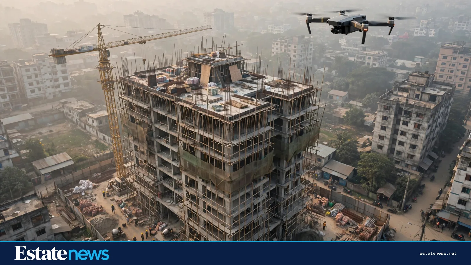
On a hazy morning in Mirpur, a small quadcopter lifts off from a site office roof and climbs above a half-finished apartment block. Twenty minutes later it is back, and the project engineer has a set of photographs that would have taken a survey team a day to collect. The drone has flown the boundary of the plot, photographed the roof slab, and recorded how far the brickwork has climbed since last week. This is no longer a novelty on Dhaka's bigger building sites. It is becoming routine.
Drones have spread through construction worldwide for a simple reason: they turn hours of fieldwork into minutes. Industry guides published in 2026 list the same core uses everywhere, and Dhaka's larger developers are adopting them in the same order. Surveying comes first, then progress tracking, then inspections of places that are hard or dangerous to reach.
The survey: a map in an afternoon

The first job a drone does on a site is mapping. Fitted with a high-resolution camera, it flies a grid over the plot, taking overlapping photographs that software stitches into a single overhead map. With ground markers for reference, that map can measure distances, areas and volumes, including the volume of a stockpile of sand or brick. A traditional ground survey of the same plot can take days. A drone does it in hours.
For a buyer, the survey matters most before construction starts. A drone map shows the plot's actual shape, its slope, the low corner where water will sit in the monsoon, and the buildings already crowding its edges. A developer who shares survey images is showing you the land as it is, not as the brochure drew it. Ask for them. If the developer has flown the site, the images exist.
The weekly flight: progress you can check
The second use is progress monitoring. A drone flown every week or two builds a visual record of the building as it rises. Floor by floor, the photographs show whether the work matches the schedule the developer gave you. A buyer who has paid instalments tied to construction stages can compare the drone photographs with the payment schedule. If the third instalment is due when the fifth floor slab is cast, the photograph either shows a fifth floor slab or it does not.
This is where drones are genuinely useful to ordinary buyers. You cannot climb scaffolding to check your own flat, and you should not try. But you can ask the developer for recent aerial photographs, and you can ask for them regularly. A developer that flies weekly and shares the images is a developer with nothing to hide about pace. One that cannot produce a single recent aerial photograph of a project it claims is racing ahead has told you something too.


The inspection: roofs and facades without the climb
The third use is inspection. A drone can photograph a roof, a facade, a crane or a water tank without anyone climbing. After a storm, it can record damage to a boundary wall or a roof sheet before anyone goes up to look. Thermal cameras, fitted to larger drones, can pick up heat patterns that suggest damp or missing insulation, though reading those images takes training and the results are indicative, not conclusive.
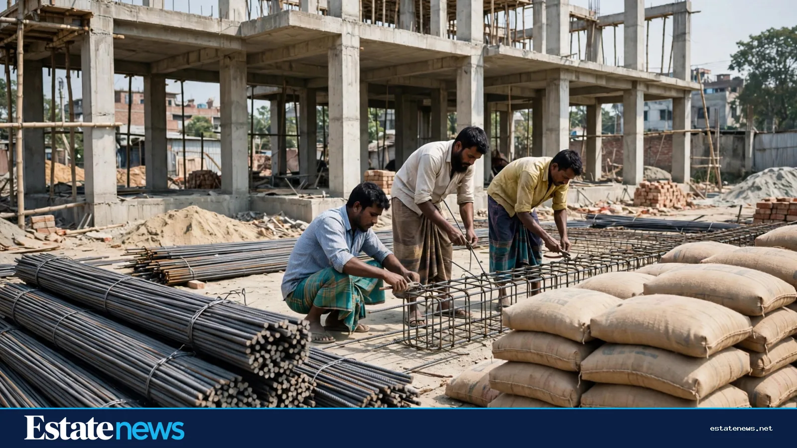
Here the limits start to matter. A drone sees surfaces. It cannot see inside concrete. It cannot tell you whether the rods inside a column are the grade the design specified, or whether the concrete was cured properly, or whether the soil below the foundation was tested. Those questions are answered by lab tests, site records and engineers, not by photographs. A drone photograph of a finished facade tells you nothing about what is behind it.
What a buyer should ask for
Drones also have their own limits in Dhaka's skies. Flights need permission where they fly near airports or restricted areas, and a responsible operator will have sorted that before takeoff. Weather matters: high wind and heavy rain ground a small drone, and the hazy winter air that covers Dhaka in the morning can soften the images. Battery life limits each flight to well under an hour, so a large site needs several flights.
None of that makes the technology useless. It makes it a tool with a defined job. If you are buying into a project under construction, ask three questions. Has the site been surveyed by drone, and can you see the map? Are progress flights done regularly, and can you see the latest set? Has the roof or facade been inspected by drone before handover, and can you see those photographs? The answers, and the willingness to share them, are worth more than the images themselves.
Dhaka's construction industry is adopting new tools quickly. Our earlier piece on drones and digital design in Bangladeshi construction (https://estatenews.net/proptech/nirmane-dron-ar-dijital-nksha-biaiem-oo-ntun-przukti-bangladese-kee-bdlate-pare) covered the same shift in Bangla, and our guide to what AI can and cannot tell a homebuyer (https://estatenews.net/proptech/ai-enters-the-property-search-what-algorithms-can-and-cannot-tell-a-dhaka-homebuyer) makes the same point about a different technology. The pattern is the same every time: the machine is a better witness than a brochure, and a worse judge than an engineer. Use it as the first, and hire the second.
Read more: Our construction cost guide (https://estatenews.net/development/apartment-construction-cost-per-square-foot-in-bangladesh-what-the-number-really-includes)