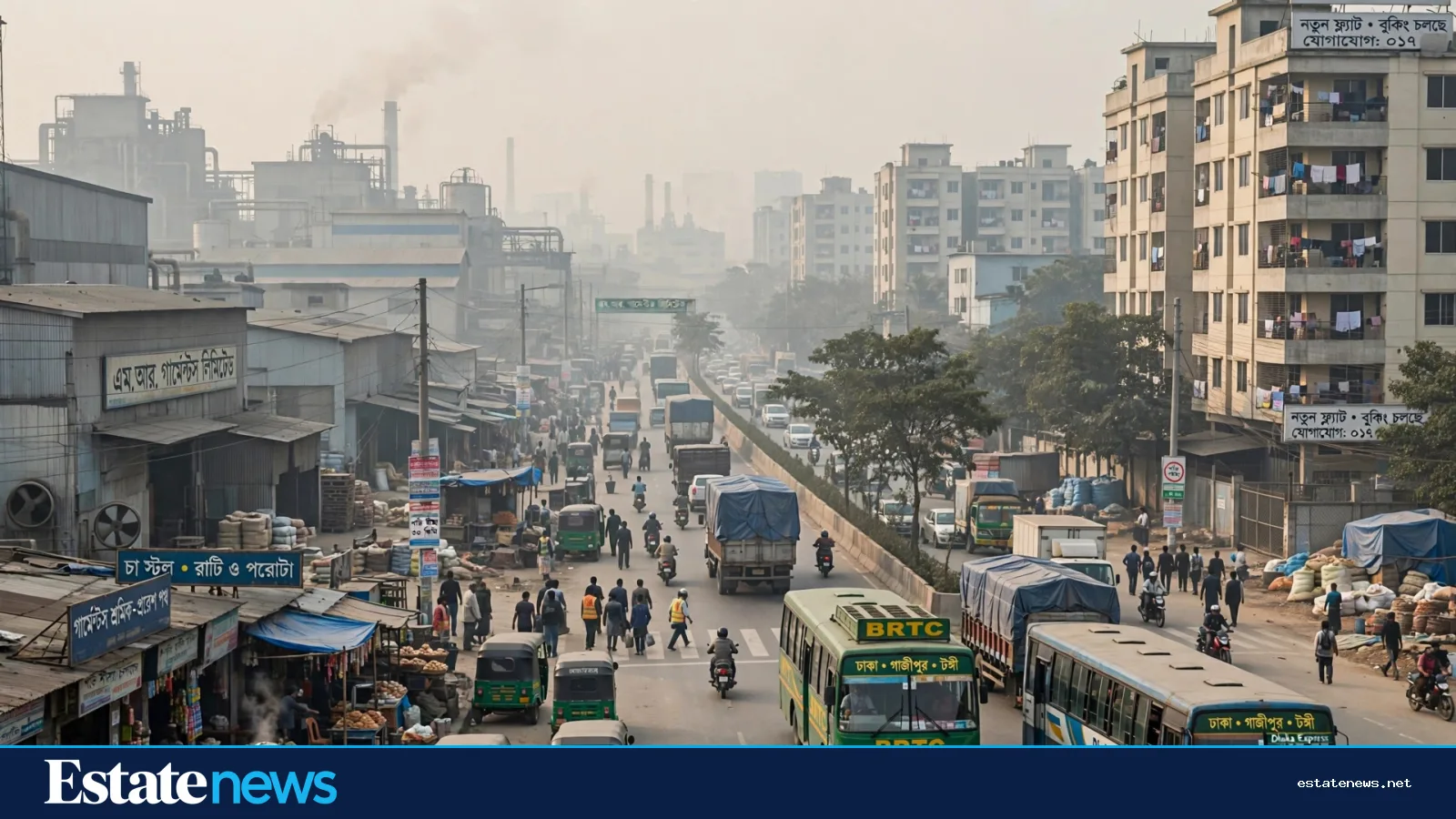
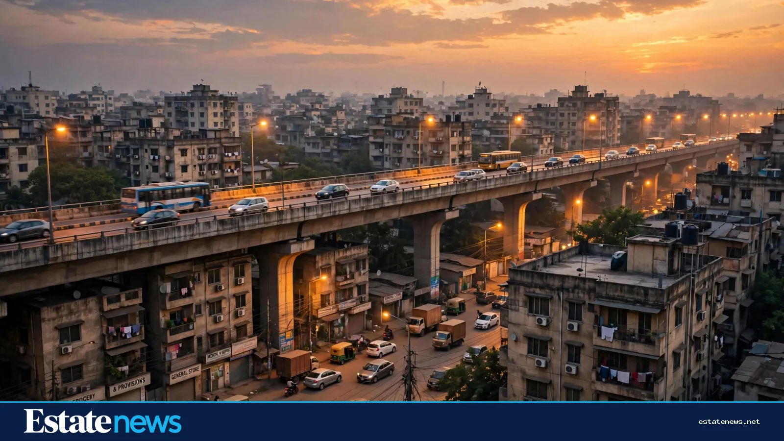
Dhaka's housing map is not drawn only by developers. It is drawn, street by street, by the roads that make a place reachable at 8 in the morning and again at 8 in the evening. When a new expressway or a widened arterial road opens, the first change is practical, not financial: a journey that once took an unpredictable hour may become shorter, or a neighbourhood that felt cut off may suddenly sit on a direct route.
That distinction matters. A road can improve access. It cannot, by itself, promise a price rise, a rental return or a better quality of life. Those outcomes depend on what happens around the road — schools, water, drainage, jobs, public transport, safety and the way land is actually used — and on whether the improvement lasts once traffic grows to fill the new space.
The Dhaka Elevated Expressway illustrates the point. Its first opened section, from the airport area at Kawla towards Farmgate, was presented as a faster north-south alternative, with a journey of roughly ten minutes between those points at the initial speed limit. The full planned route, as described in project material, runs much further south, towards the Dhaka–Chattogram highway. Even a partial opening therefore changes the calculation for people living and working along the northern corridor: airport, Uttara, Banani, Mohakhali and Tejgaon are connected differently than before.

But the early experience also showed the limits. Congestion appeared at landing points and ramps, where fast elevated traffic met slower street traffic. A road that saves time in the middle of a journey can lose much of that saving at its ends. For a homebuyer, the useful question is therefore not simply "is there an expressway nearby?" but "how does the whole journey work, door to door, at peak hour, in rain, and on a day when one ramp is closed?"
What a road actually changes
First, it changes the catchment area for jobs and services. A family can reasonably consider a home further from the office if the reliable travel time falls, or if a bus route uses the new road. Developers notice the same shift, and new projects tend to cluster where access has improved and land is available. That is why corridors, rather than single points, often become the story: a string of neighbourhoods along one route begins to share the same commuter logic.
Second, it changes the value of the last mile. A flat five minutes from a ramp, a bus stop or a station is different from a flat that requires another congested stretch through narrow lanes to reach the same road. Wide internal roads, footpaths, parking discipline and safe crossings decide whether the benefit of the expressway reaches the front door.
Third, it changes the pressure on services. More homes along a corridor mean more demand for water, sewerage, waste collection, schools and clinics. If those services do not keep pace, the advantage of a faster road can be offset by longer queues elsewhere in daily life. Buyers who visit only on a quiet Sunday may miss this entirely.
A road shortens a journey. Only the neighbourhood around it decides whether that journey is worth making every day.
What a road does not prove
It is tempting to read a new road as a signal to buy quickly before prices move. That reading should be treated with caution. Prices reflect many forces at once: interest rates, loan availability, construction costs, the supply of new flats, job growth and household incomes. A single road project cannot be isolated from those forces without careful, area-by-area evidence, including whether the prices being quoted are asking prices or completed transaction prices.
Evidence also takes time. A neighbourhood needs months or years of completed sales, rentals and resales before anyone can describe a trend with confidence. Early asking prices after an opening may reflect expectation rather than settled demand. A buyer who pays for expectation alone is taking a risk that the expectation, not the road, will not hold.
There is another caution. Roads bring noise, dust, air pollution and, near ramps and interchanges, heavy traffic at all hours. A home that gains in access may lose in quiet, air quality or pedestrian safety. Those trade-offs are not footnotes; for families with young children, older residents or people who work from home, they may matter more than a few minutes saved.
How to judge a corridor home
- Travel the route at peak hour, in both directions, before deciding — and include the walk or ride from the ramp to the building.
- Check public transport, not only private cars: which buses use the road, where they stop, and what happens when the expressway is congested.
- Look at drainage and waterlogging on the approach roads, especially after heavy rain, when a fast road can still leave a neighbourhood cut off.
- Ask what else is planned nearby — schools, hospitals, markets, parks — and whether those plans are funded and under way, rather than only announced.
- Compare similar homes on and off the corridor, and ask the seller or developer to distinguish asking prices from recent completed sales.
- Visit at night as well as by day, to judge noise, lighting and safety around ramps and junctions.
The longer view
Dhaka's transport story is still being written in stages. Elevated roads, arterial upgrades, metro lines and bus improvements interact with each other, and a corridor that looks strong on one mode may be weak on another. The most resilient housing choices are usually those that do not depend on a single road, a single ramp or a single promise.
That is the right way to read a new expressway: as a change in access that opens up choices, to be tested against services, costs and everyday life — not as a guarantee about value. A home bought for a shorter, more reliable commute, in a neighbourhood whose services can support more residents, stands on firmer ground than a home bought for a price chart that has not yet been drawn.
Follow Estate News on Facebook for daily property, market and money updates: https://www.facebook.com/profile.php?id=61593817347872